


Published on: 01/05/2026
This news was posted by Oregon Today News

Description
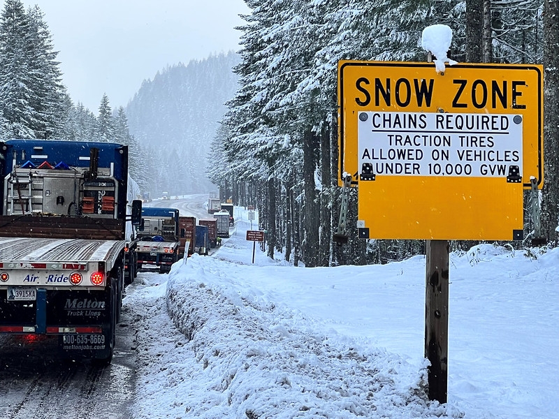
The National Weather Service issued a winter storm watch at 2 a.m. on Monday valid from Tuesday 10 a.m. until Thursday 10 a.m. for Siskiyou Mountains and Southern Oregon Cascades.
"Heavy snow possible. Total snow accumulations between 10 and 20 inches possible. Winds could gust as high as 40 mph over high and exposed terrain," explains the weather service. "For the Winter Weather Advisory, snow levels drop to around 4000 feet this morning. A band of heavier snowfall with rates in the half inch to 1 inch per hour range could move through at the time of the morning commute making conditions very hazardous. This is most likely between 4 am and 10 am PST."
Other Related News
01/06/2026
Did you know that youth who find themselves on the street for just two weeks are more l...

01/06/2026
BEND Ore KTVZ -- With snow already piling onto the mountains more people are flocking to C...

01/06/2026
Between the results from last weeks Les Schwab Invitational and other holiday tournaments ...
01/06/2026
Heavy snow Tuesday through Thursday could lead to treacherous travel conditions in the Cas...
01/05/2026
Its time to grab your tickets and check to see if youre a big winner The Powerball lottery...
Follow

Download Our App


Copyright 2022 © EPUERTO. All Rights Reserved