

Published on: 01/04/2026
This news was posted by Oregon Today News

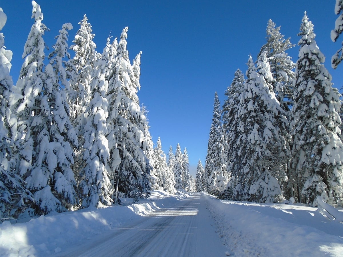
Description

While the Portland area will see mild weather Sunday and into the coming week, other parts of Oregon are facing a mix of winter weather impacts, with mountain snow building in the south, strong winds easing in parts of Eastern Oregon, and minor coastal flooding expected during high tides.
According to the National Weather Service’s forecast, rain and breezy winds will continue in Portland on Sunday, with the weather turning drier and calmer on Monday.
But in the Cascades of southern Oregon and northern California, snowfall levels, which were around 4,000 to 5,000 feet Sunday, are expected to drop to about 3,500 to 4,000 feet by Monday morning, allowing snow to accumulate in higher terrain.
Forecasters say 1 to 3 inches of snow could fall along Interstate 5 south of the state line near Mount Shasta on Monday.
A cold front is expected in southern Oregon and northern California midweek.
From Tuesday through Thursday, snowfall levels could fall as low as 2,000 to 2,500 feet, bringing heavier snow to the Cascades.
Forecasts call for 8 to 16 inches of snowfall between 4,500 and 5,500 feet, with up to 2 feet possible on higher peaks and ridgelines.
In eastern and central Oregon, overnight gusty downslope winds near the Blue Mountains reached up to 55 miles per hour near Cabbage Hill along the Interstate 84 highway early Sunday, prompting a wind advisory. Winds are expected to weaken as the low atmospheric pressure area moves inland, with calmer conditions developing by Monday.
Along the Oregon Coast, minor coastal flooding is expected during Sunday’s high tide. Coastal flood advisories are in effect from late morning through mid-afternoon Sunday for Clatsop and Tillamook counties and the Coos Bay area.
Forecasters expect minor flooding of up to one foot above ground level in low-lying coastal areas near bays, sloughs and lower reaches of the coastal rivers.
They also warn that roads, parks and waterfront areas may briefly flood around midday.
The Oregon Department of Transportation advised drivers in Coos Bay and other coastal areas to watch for high water on highways such as U.S. 101 and state Highway 42 through Sunday afternoon due to high tides, and to expect delays and lane closures.
News Source : https://www.opb.org/article/2026/01/04/oregon-regions-weather-forecast/
Other Related News

01/05/2026
The Seattle Seahawks clinched the NFLrsquos NFC West title with a 13-3 win over San Franci...
01/05/2026
OSU mbxbOregon Statersquos men dropped a WCC basketball game at Stockton CA Friday to Paci...
01/05/2026
UO fbFrom Oranges to Peaches Oregonrsquos football team 13-1 is on a citrus run through th...
01/05/2026
Southwestern Oregonrsquos basketball teams open NWAC play with home court wins Saturdaynbs...
01/05/2026
Prep GBXB ScoresPrep girlsrsquo basketball scores from Friday Jan 2 4A ndash Tillamook bea...
Follow

Download Our App


Copyright 2022 © EPUERTO. All Rights Reserved