

Published on: 04/19/2026
This news was posted by Oregon Today News

Description

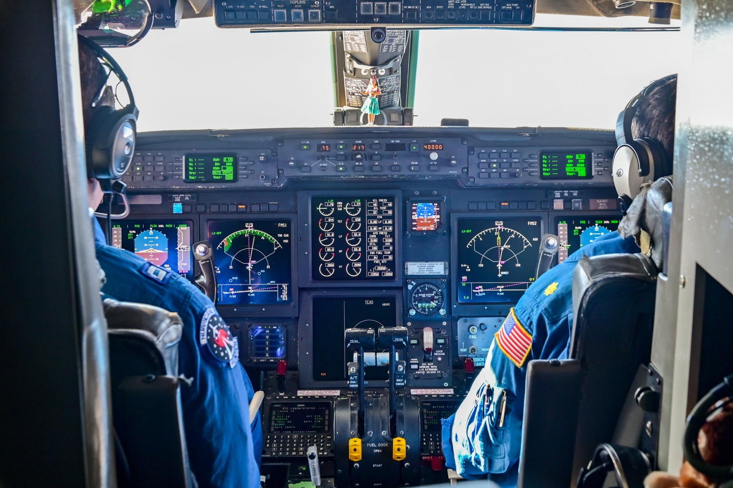
For six weeks this winter, a National Ocean and Atmospheric Administration “Hurricane Hunters” jet was based at Portland International Airport, collecting data on atmospheric rivers.
Scientists say the NOAA assignment was a success, as a series of back-to-back storms soaked the West Coast at the time, providing plenty of data.
The crew arrived on Feb.1 and didn’t have to wait long. An atmospheric river moved through the area on Feb. 18, a winter storm rolled in on March 9, and another atmospheric river caused widespread flooding on March 12th.
By March 15, when the seven-member crew left, Hurricane Hunter pilot Conor Maginn says they had completed 17 flights, each time dropping a series of instruments called dropsondes through a hole in the aircraft.
Dropsondes are essentially small computer chips that parachute down through a storm system.
“They fall from the aircraft and they send data back to the aircraft on pressure, temperature, humidity, wind speed, and wind direction,” Maginn said. “We send the data to the forecasting models for real-time observations of the atmospheric rivers.”

The Scripps Institution of Oceanography has likened the collected dropsonde data to an MRI scan of an atmospheric river.
What did the Hurricane Hunter flights learn?
When meteorologists put together the forecasts we see every day, they’re looking at current weather conditions and comparing them to large databases of weather events going back decades.
The data gathered by the flights this winter will add information to those vast databases, and NOAA estimates that could help make future forecasts up to 10% more accurate.
For years, NOAA’s Hurricane Hunter crew was based in Hawaii, where scientists could get a good understanding of how, and how often, atmospheric rivers form. But the agency chose to fly out of Portland this winter to see how atmospheric rivers function once they’re fully formed and hitting the West Coast.
“We had a lot of support in Portland,” Maginn said, “and it was, as far as I know, a successful science mission.”

Anna Wilson, the assistant director for atmospheric river reconnaissance at Scripps, said crews flew missions in both Portland and Hawaii this winter, with planes belonging to NOAA and the Air Force 53rd Weather Reconnaissance Squadron.
“Having an aircraft in both places, we are really able to see both areas,” Wilson said. “Where the atmospheric rivers might be forming, and when they’re closer to making landfall.”
Wilson also said having a jet in Portland meant scientists could collect data from relatively nearby places like the Gulf of Alaska, where the jet stream and extratropical cyclones can influence atmospheric rivers.
She said the Scripps reconnaissance program is aimed at both forecasting and research.
“Its primary goal is to improve operational forecasts during the season by adding observations to a data bank, which is available to all the global operational numerical weather prediction models,” she said.

Wilson said she’s already proven the Portland trip was successful by running old forecast models with the new data and showing they are more accurate.
NOAA’s Hurricane Hunter jet crew has moved on to Florida, where it is using dropsondes in hurricanes.
It’s not clear whether it’ll return to Portland this winter. Scripps works closely with NOAA and the Air Force to decide where aircraft will be stationed each season.
What is an atmospheric river?
Atmospheric rivers have been around as long as the atmosphere. But the term was only coined in the 1990s, when improvements in weather satellites produced clearer pictures of the phenomenon.
Essentially, atmospheric rivers are long, narrow, concentrated bands of water vapor located in the lower atmosphere, at an altitude of about 10,000 feet. They carry vast amounts of water from the tropics to higher latitudes.

Scientists equate them to having as much water as the Mississippi River, flowing through the sky.
They are extremely important for bringing water inland. But they can also be very destructive, causing massive flooding.
As the climate changes, Wilson says scientists expect to see atmospheric rivers change. For example, by carrying more moisture.
“That is not something we’ve necessarily been documenting yet,” Wilson said. “But that is something that climate models are consistently showing us that we can expect.”
She says atmospheric rivers are pushing snow levels higher.
“In higher terrain there is more frequent precipitation coming out of these atmospheric rivers as rain rather than snow,” Wilson said. “That is something we have been able to document.”

News Source : https://www.opb.org/article/2026/04/19/pdx-hurricane-hunter-crew-studying-atmospheric-rivers/
Other Related News

04/19/2026
After briefly reopening the vital economic waterway Iran has again closed the Strait of Ho...
04/19/2026
Victor Wembanyama and most of his San Antonio teammates will make their playoff debut Sund...

04/19/2026
Gas sales have reliably tracked Oregons economy over the past quarter century

04/19/2026
Dear Liz When my mother passed away nine years ago I inherited some gold coins At the time...

04/19/2026
Editors note The OregonianOregonLive Editorial Board kicks off its endorsements today for ...
Follow

Download Our App


Copyright 2022 © EPUERTO. All Rights Reserved